Καλημέρα. Μου θυμίσατε μια παλιά μου αγάπη, το νησάκι
Μον Σεν-Μισέλ, για το οποίο διαβάζω στην αγγλική Wikipedia:
Tidal island
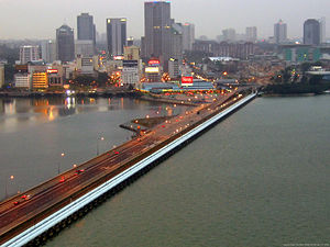
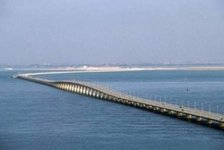
Mont Saint-Michel was previously connected to the mainland via a thin natural land bridge, which before modernization was covered at high tide and revealed at low tide. This connection has been compromised by several developments. Over the centuries, the coastal flats have been polderised to create pasture. Thus the distance between the shore and the south coast of Mont-Saint-Michel has decreased. The Couesnon River has been canalised, reducing the flow of water and thereby encouraging a silting-up of the bay. In 1879, the land bridge was fortified into a true causeway. This prevented the tide from scouring the silt around the mount.
On 16 June 2006, the French prime minister and regional authorities announced a €164 million project (Projet Mont-Saint-Michel) to build a hydraulic dam using the waters of the river Couesnon and of tides to help remove the accumulated silt deposited by the rising tides, and to make Mont-Saint-Michel an island again. It was projected to be completed by 2012.
The construction of the dam began in 2009 and is now complete. The project also included the destruction of the causeway that had been built on top of the small land bridge and enlarged to join the island to the continent, and was used also as a parking lot for visitors. It will be replaced by an elevated light bridge, under which the waters will flow more freely, and that will improve the efficiency of the now operational dam, and the construction of another parking lot on the mainland. Visitors will use small shuttles to cross the future bridge which will still be open to pedestrians and unmotorized cycles.
Προφανώς το
ελληνικό κείμενο («μικρή νησίδα στις ακτές της Νορμανδίας, σε πολύ μικρή απόσταση (περίπου 1,6 χλμ) από την ακτή, με την οποία συγκοινωνεί με ασφαλτοστρωμένο δρόμο») χρειάζεται ενημέρωση.
Να 'χαμε και καμιά τωρινή φωτογραφία...


